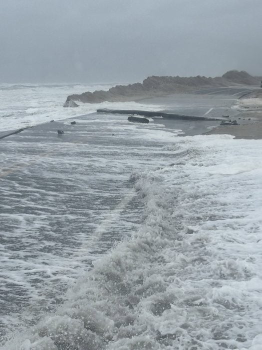
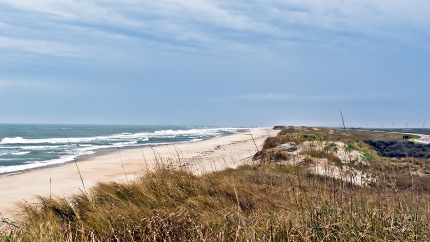
Made this image in April of 2009, opposite Pea Island Visitor Center. That little ribbon of road on the far right is NC 12, a highly dynamic roadway. Got washed out again this morning by a Nor’easter. Not as bad as Hurricane Irene in 2012 but the road has parts, missing. It’s why I live far, inland. Sailors know.
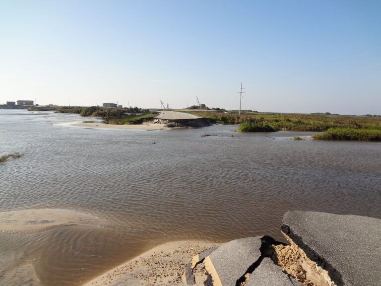
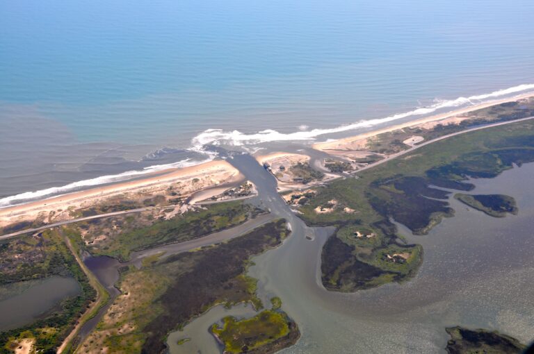
Below: After Hurricane Irene 2012
Below: Today, 24 September 2026